Hydrological Modelling Using LiDAR-derived High-resolution Digital Elevation Models
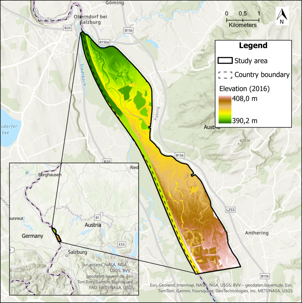
Leveraging advanced hydrological modelling, the TOPMOD project aimed to produce a scientific paper which assesses the suitability of different DEM-based indices for soil wetness estimation in the Salzach River floodplains. Pre-processed LiDAR-based Digital Elevation Models were used to derive Depth-to-Water (DTW), Height-Above-the-Nearest-Drainage (HAND) and SAGA Wetness Index (SWI) maps. The index maps were further processed into classified soil wetness maps and statistically evaluated. TOPMOD, thereby, identified the most suitable approach for mapping soil wetness in the Salzach River floodplains. This endeavour not only contributed to scientific knowledge but also offered practical insights for sustainable floodplain management strategies in Austria.
Access the project’s Gitlab page here.
Access the scientific paper here.
Access the final poster here.
