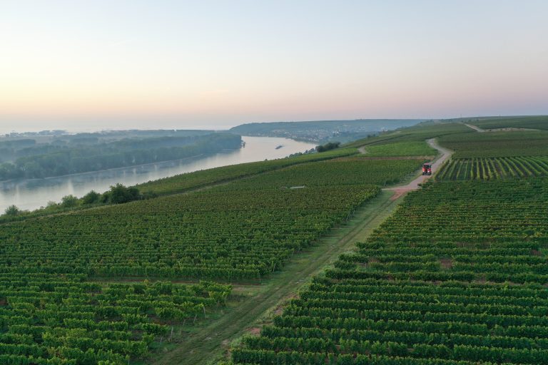
Comparison of Viticultural Management Practices in Rheinhessen Using UAV-based Multispectral Remote Sensing Data
My bachelor thesis, which I conducted in cooperation with the viticultural biodiversity project “AmBiTo”, observed the influence of different viticultural weed management techniques on inter-row flowering mixtures. I used self-acquired multispectral UAV data and derived NDVI images through photogrammetric software. The resulting images were further processed with GIS and statistically analysed in R. Due to the high spatial resolution offered by UAV-based remote sensing methods, statistically significant spatiotemporal differences between the observed management regimes could be identified.
Access the document here.
